|
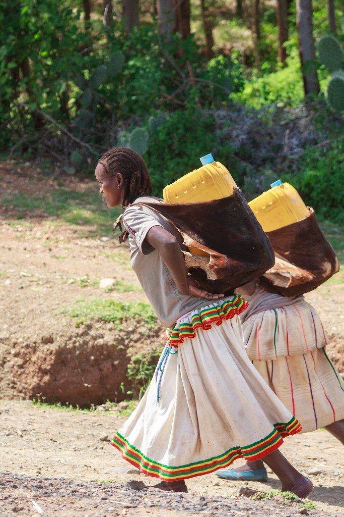 |
| A daily activity | |
| Latitude: N 5°33'12,75" | Longitude: E 37°24'46,26" | Altitude: 1298 metres | Location: GolelÄ | State/Province: YeDebub BihÄroch BihÄreseboch | Country: Ethiopia | Copyright: Ron Harkink | See map | |
| Total images: 33 | Help | |
|
|
|
| A daily activity | |
| Latitude: N 5°33'12,75" | Longitude: E 37°24'46,26" | Altitude: 1298 metres | Location: GolelÄ | State/Province: YeDebub BihÄroch BihÄreseboch | Country: Ethiopia | Copyright: Ron Harkink | See map | |
| Total images: 33 | Help | |